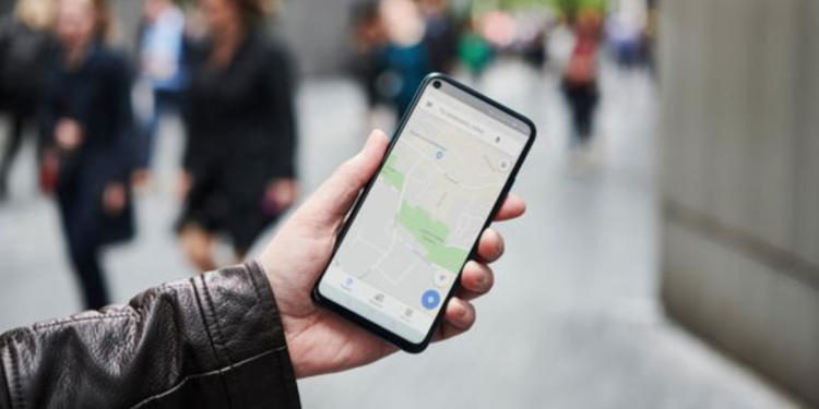
If you want to be able to gauge the distance on a map accurately, gone are the days of using the scale and a ruler. Today, you can easily access maps online and instantly look up the distance between two points. Online map services such as Google Maps have made navigation so much simpler for millions of people around the world. The service lets you quickly plan your journeys by finding the best route to your destination. Google Maps even allows you to see the average traffic and travel time before you set off and will give you updated routes if there’s a quicker option.
While Google Maps is highly useful by itself, there are lots of great mapping tools out there that provide even more options. A lot of mapping tools now provide customizable options to apply extra data to your map. Using this data, you can provide insights into your journeys and the needs of your business. Some tools will feature the option to add a distance radius to points you’ve added to the map, showing which points are within a certain distance of each other. With this feature, you can find out what services are within a certain radius from your home, show the closest employees to a specific location, and more. Maptive’s map radius tool lets you know everything on the map within a certain proximity of a location. Find all the details of how to set up a radius on your map in this guide.
Step One: Create Your Custom Map
If you’d like to create a custom map, specifically one using business data, Maptive is one of the best options available. Right now, you can create a map for free and use all of the major features for ten days. This map-making tool allows you to visualize your business data in the form of a map. Adding your data to the map can help to determine key insights about your business.
All you need to do is sign up for the free trial and choose to create a new map. Then add a title for the map and a short description. Once you’ve finished that, you can upload the data to your map using a spreadsheet. Make sure your data is relevant to the purposes of the map and that it has location data to use.
Step Two: Draw on Your Radius
Once you’re created your map, you can start to use the different tools available to you. You can find the map radius tool in the map tools menu on the left-hand side of the map. If you’re using a different service than Maptive, it might be somewhere else, but it will most likely be in the tools menu. Select the radius and proximity tool and then choose your starting location and the radius distance. From there, you can then customize the radius by changing the colors and labels of the marker. You’ll then see your marker and radius appear on the map with the radius surrounding the marker and spreading out for the distance you’ve selected.
Step Three: Customise Your Map Further
Aside from creating a radius to show the proximity between markers, you can add plenty of other features to your custom map. Mapping tools allow you to color-code different areas and plot demographics data onto your map. Drive polygons are another option that, similar to the radius, show areas around a location. These drive polygons specifically show driving distance by using the roads around the location. A drive polygon feature is useful in helping to understand how long it will take to drive to the different locations on your map.
Another tool that can help you know the best driving routes is the route planner. This lets you create different routes across a map between certain locations and will give you the quickest route for each. Map multiple destinations onto one route to create a helpful map you can use while driving.
Mapping tools also allow you to add different colors, labels, and features to the map to personalize it and make it easier to use. Add annotations and drawings to add helpful information. You can make a note of noteworthy items such as one-way roads, specific entrances, and areas that have heavy traffic.
A map radius is a simple way for you to work out locations close to a certain point on your map. Use the radius tool to make the most of your custom map and find out which locations are within a certain proximity to you. This feature is just one of the many different options you’ll have when creating a custom map using map-making software, so be sure to play around.


